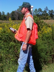
 Need answers to certain spatial questions? Blackridge Land Co. uses the latest technology in Geographical Information Systems and Geographical Positioning System Units to find the answers you need. We can help with the following:
- Acreage calculation of food plots, timber stands, habitat enhancements, etc.
- Identify road systems.
- Timber type delineation.
- Stream identification.
- Hunting stands and locations.
- Hunting pressure.


