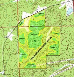
 Once aerial images are captured in digital format and GIS layers are created, a customize map can be created to your specifications. At Blackridge Land Co., we use a 36-inch width large format plotter to create hard copies of your custom map. Custom Maps are great for Hunt Clubs and Property Owners where hunting locations are important to everybody’s safety.
- Lamination.
- Various sizes for enlargements of aerial photos, habitat planning, hunting properties.
- Plain or various levels of details, i.e., roads, property lines, creeks, ponds, shooting houses, timber stands, food plots, habitat enhancements, grids etc.
- Stream identification.
- Hunting pressure.


